Start with the route you will actually use
A useful comparison starts at two candidate docks, not two city boundaries. Map each route to your intended inlet and boating destinations. Record fixed and opening bridges, navigation constraints and any operational waits. Do not assume ‘no fixed bridges’ means no bridges or no restrictions.
NOAA nautical charts provide official navigational information, but changing local conditions also matter. The Hillsboro Inlet District cautions that its depth chart is not intended for navigation. Have a qualified marine professional evaluate unfamiliar routes rather than relying on a property advertisement.
What to investigate in Lighthouse Point
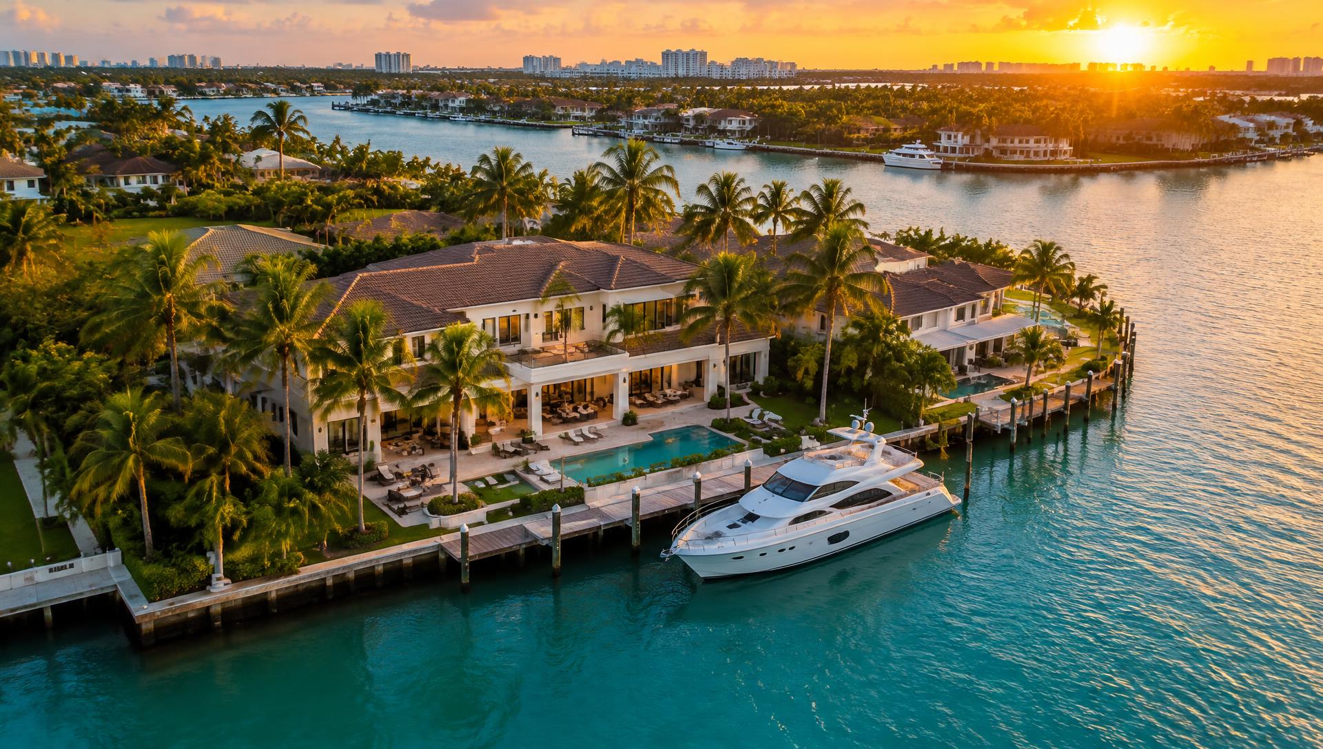
The site’s Lighthouse Point guide includes Venetian Isles, the yacht-club area and point-of-land properties. For each candidate home, investigate the connection to the Intracoastal and Hillsboro Inlet, canal maneuvering room and the usable dock arrangement. Nearby water does not establish suitability for a particular vessel.
Include your land-based routine in the comparison: shopping, work, restaurants and the places you regularly visit. A preferred inlet route is only one part of choosing a primary residence.
- Verify the full route rather than a citywide ocean-access claim.
- Check usable berth dimensions and utilities at the actual property.
- Ask about waterfront structure condition and restrictions.
What to investigate in Fort Lauderdale
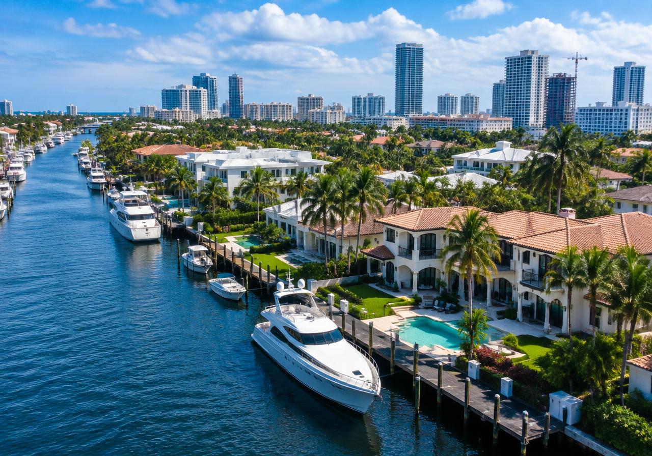
Las Olas Isles, Harbor Beach, Rio Vista, Coral Ridge and Bay Colony offer different waterfront settings in the existing Fort Lauderdale guide. Compare candidate properties individually: proximity to your preferred destinations, the route toward open water, dock configuration and the surrounding daily routine.
New River properties deserve particular attention to bridge operations. Federal regulations specify opening requirements and exceptions for New River bridges. Check current rules and temporary notices for your route instead of assuming all Fort Lauderdale waterways offer the same access.
Use the same scorecard for both cities
Comparing like for like makes the tradeoffs clearer. A home that suits your vessel but requires a major seawall repair may not be a better fit than a different property with a less direct route. A waterfront view also does not guarantee the dock rights or equipment you expect.
- Boat fit: length, beam, draft and air draft.
- Route: bridges, opening requirements and current conditions.
- Dock: usable berth, maneuvering space, lift and utilities.
- Condition: seawall, dock, permits and specialist inspection findings.
- Ownership: address-specific insurance, maintenance and any association costs.
- Lifestyle: your commute, beach visits, dining and everyday errands.
Turn the comparison into a shortlist
Give Margo your vessel measurements, budget and two or three priorities you would not compromise on. Include whether this is a primary or second home and where you normally boat. That information helps frame a property-level comparison rather than declaring one city universally ‘best.’
For broader context, read the boating-neighborhood guide below, then explore the individual city pages. Confirm final boating, insurance and engineering questions with qualified professionals before committing.
Sources & further reading
- NOAA electronic navigational charts — Official chart information for route investigation.
- Hillsboro Inlet District depth chart — Inlet conditions and limitations of the district chart.
- New River bridge regulations, 33 CFR § 117.313 — Federal bridge-operating rules; confirm current notices before use.
General buyer information, not legal, engineering, insurance or navigation advice. Rules and conditions can change; confirm current requirements and property-specific findings with qualified professionals.
Explore the area
- Lighthouse Point homes & waterfront real estate
- Fort Lauderdale homes & waterfront real estate
- The Best Boating Neighborhoods in South Florida